Interactive NMI Site Overview
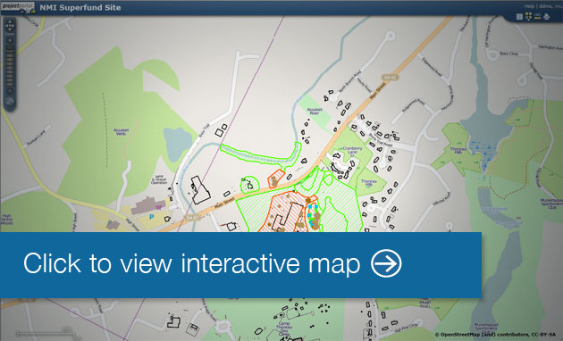
Interactive Site Map: The Interactive Map utilizes an interactive web-based Geographic Information System (GIS) utility. With it, users are able to zoom and pan around the NMI site, turn on and off different layers of interest and click on individual layers (e.g., sample results) to obtain associated data (when using the identification button ).
This map allows the user to access the results of RI/FS sampling. The analytes available are based on the EPA identified contaminants of concern (uranium, beryllium, copper, and nitrate). The Remedial Investigation / Feasibility Study process will further evaluate the extent and type of contaminants in the environment. Following the delineation process, the locations of and types of contaminants will be evaluated to select which contaminants will be evaluated in the Risk Assessment.
Use the following tools (buttons) to navigate and query the spatial information:
 Zoom In to location clicked
 Zoom Out from location clicked
 Zoom to full extent of all the data
 Map Contents - Toggles map contents and layers by showing the legend
  Basemap - Shows alternate map background choices
 Pan and reset the map
 Measure tool (click beginning then again at end)
(Note, this will launch a new web browser, please ensure that your popup blockers are disabled.)
Last updated on March 10, 2016